Feeling colder this week as Arctic air hits UK

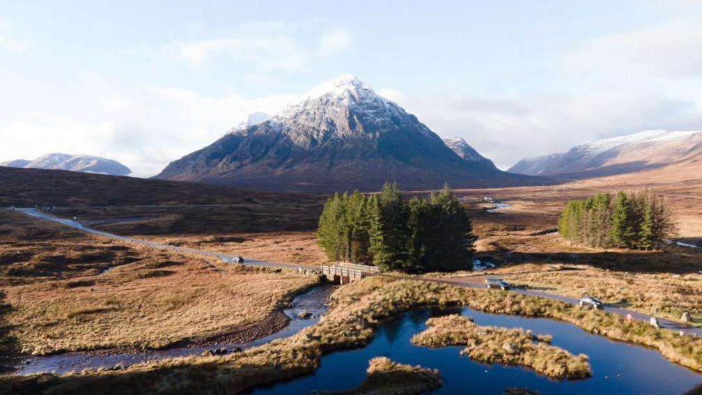
Some snow is possible this week on the highest ground of Scotland
- Published
It is going to feel a lot more like autumn this week.
After many parts of England and Wales experienced some very wet days with thunderstorms and flash flooding, the weather will take a turn.
From mid-week, with air coming in from the Arctic, temperatures will be around four to seven Celsius below average.
It will be cold enough in the Scottish mountains for some wintry showers.
Colder air from the Arctic starts to move in across the UK from Tuesday
Arctic blast?
Some media reports are suggesting an "Arctic blast".
While it is accurate to suggest the Arctic origins of the air this week, "blast" is probably a bit dramatic, and a word more suited to much colder air in winter.
However, there is no doubt we are going to have a noticeable change.
At the end of last week, temperatures reached 28C in eastern England with some humid air.
From Tuesday and for the rest of the week, strong north-westerly winds will bring colder air from the Arctic across the United Kingdom.
Temperatures will then widely be below the average with daytime maximums of nine to 14C, but the wind will probably make it feel colder than even those temperatures suggest.
This wind will also bring lots of showers to northern and western areas of the UK, some of those heavy and thundery with hail.
The air will be cold enough over the highest ground of Scotland for some of the showers to turn wintry.
Snow over the Scottish mountains is not uncommon in September as we transition into the colder winter months. Our nights will also get rather chilly.
With winds falling lighter on Thursday night, temperatures will drop down to 3-6C with a touch of ground frost in more rural areas.
By Friday and into the weekend, there will be another change in wind direction to a south-westerly.
This wind direction tends to bring in more seasonally average temperatures - around 16 to 20C for mid-September.
Heavy rain affected much of England and Wales over the last few days with over a month's worth falling in some places
Is it going to rain this week?
September has so far been very wet for some of us.
Over the last few days alone, parts of England and Wales have had over a month's rain.
Shawbury in Shropshire has had one and half times its average September rainfall since the start of the month.
In eight days it has accumulated 96mm (4in) of rain compared to the average of 65mm (2.5in).
There were also around 3,000 lightning strikes in south-east England on Sunday with flash flooding and some disruption.
As for the week ahead, it will be unsettled with further showers coming in and while most frequent to the north and west, some will move into the south-east.
Some thunderstorms are possible too with hail.
However, it does turn a little drier by Thursday before more persistent rain spreads in late on Friday.
- Published1 day ago