A map of Roman roads in Britain
Description
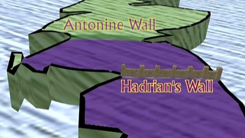
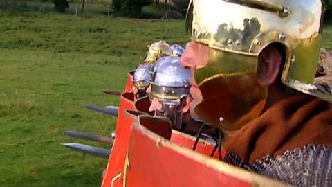
Begins by using a map to show the first Roman road to be built in Britain: Watling Street, which ran between Richborough and Chester. It then shows Ermine Street, which ran from London to York, and Foss Way, which ran from Ilchester to Lincoln. It details that the Romans had built over 8,000 miles of roads over Britain by the end of the first century and shows how the roads were built by Roman soldiers.
Classroom Ideas
Students could be provided with a blank map of Britain and use it to create their own Roman road map. They could use atlases and the internet to find the location of these roads. Road maps could also be used as a reference to highlight what should be included in a map, for example landmarks etc.
Alternatively, students could make their own cross-section of a Roman road with labels to describe each part. They could arrange sand, dirt and stones on the ground to show the materials of each layer, add labels with chalk and take a photograph of their completed diagram.
Romans
Now playing video 1 of 19
- Now playing1:26

- 1:02

- 10 of 19
3:07