Much colder weather with snow on the way for UK
- Published

Winds from the Arctic will bring some very cold weather early next week.
There will be some widespread frosts with temperatures as low as -10 degrees Celsius in rural parts of the UK.
Snow could cause some disruption initially for northern areas but there could be snow elsewhere from midweek.
Stay tuned to forecasts because with different weather systems having an influence on our weather next week, there is some uncertainty around what will happen.
We know Arctic winds will become established across the UK by Sunday, bringing a drop in temperature and widespread overnight frosts.
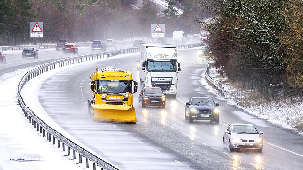
The colder, northerly airflow will see snow showers affecting northern areas of Scotland and down North Sea coasts at the start of the week. These could become more widespread with more significant snow in more populated areas across Scotland, Northern Ireland and northern England.
The Met Office has issued yellow weather warnings for snow and ice in northern Scotland valid throughout Monday, with 2-5cm (1-2in) of lying snow possible widely and up to 10cm (4in) over high ground.
Additionally, another yellow warning for snow and ice is valid for Northern Ireland on Monday with up to 5cm (2in) of snow over high ground.
Elsewhere, Monday and Tuesday may be fine and sunny days for many, despite feeling cold.
Temperatures overnight will be falling well below zero with some parts of rural Scotland and northern England expecting temperatures as low as -10C.
It gets much trickier to forecast what will happen midweek.
From Wednesday there are signals in weather computer models of an area of low pressure moving in from the Atlantic towards south-western Britain.
With cold air in place, a battle will develop between this and the milder, wetter conditions approaching.
This sort of set up in winter can cause something of a headache for meteorologists.

Milder air to the south of the UK bumps into colder air and where the boundary of that sits in southern England is where there's a risk of widespread snow.
How much snow is possible?
There are many variables that can influence the intensity, location and timing of snow.
The biggest of these next week is the location and timing of an area of low pressure which looks like it could move from west to east across southern England. On its northern side is where we could get widespread snow.
If the track or timing of this low changes by a matter of miles north or south, it will impact where we could see snow.
There is not much agreement between the forecast computer models on this at the moment.
Perhaps the most likely scenario is that we see a spell of snow in southernmost counties of England on Wednesday that could bring travel disruption. But it could drift even further south across the Channel into France.
The forecast will become clearer as we get nearer.
What we know so far:
It is going to feel colder with hard overnight frosts and ice
There will be some snow across Scotland, Northern Ireland and perhaps northern England
There is potential for travel disruption in northern areas of the UK
What we don't know:
When, where and how much snow there will be in southern areas of England
It is definitely one of those times when you need to "keep across the forecast" on ±´”„tv Weather online, on and on .
- Published9 January

- Published9 January