Dreaming of a white Christmas?
- Published

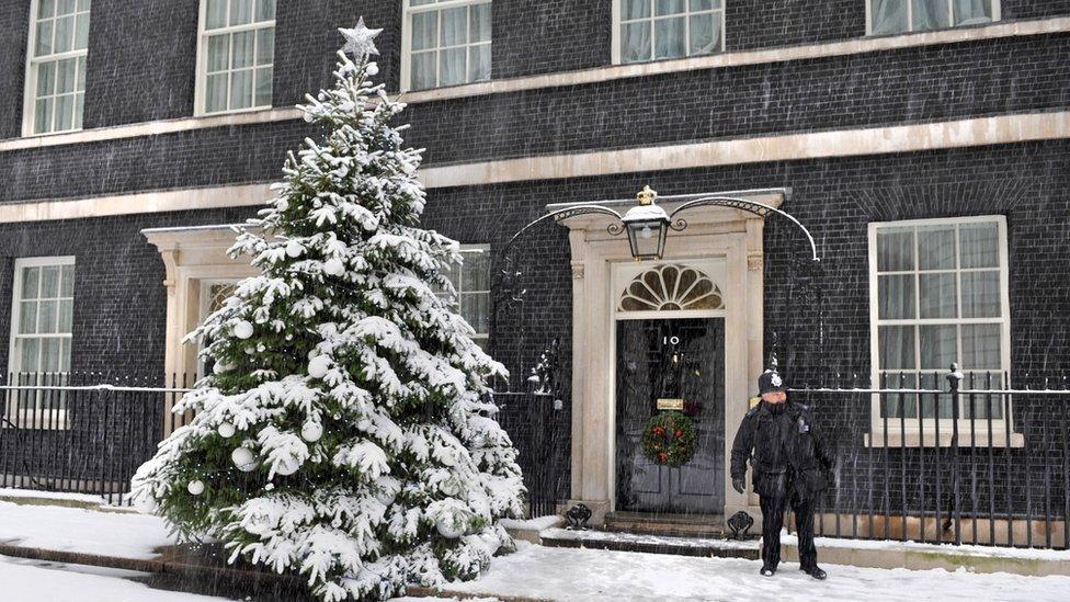
There was widespread snow across the UK in the run-up to Christmas 2010
Nothing says Christmas more than a good dusting of the white stuff. Picture those snow globe movie scenes, chocolate snowmen, and Santa on his preferred method of transport, the sleigh.
We even sing about it at this time of year. No wonder this is one of the most frequently asked questions of weather forecasters.
Will it be a white Christmas this year?
In short, it's still a little early to say and the computer weather models keep changing which doesn't imply much confidence in the long-term forecast.
We need both cold air and moisture to see snowfall. Following the widespread cold spell at the end of November temperatures have risen and are likely to climb further this weekend to double figures, well above the seasonal average for many.
There will be westerly winds and rain in the north. Towards the south it will be mostly dry with high pressure dominating. None of this is conducive to seeing any snow at all.
Things are likely to change early next week as the high pressure declines and a front pushes south-eastwards, bringing wet and windy weather. Behind that front will be colder air and a north-westerly wind but temperatures will still be around average, rather than below, for late December.
There could potentially be some wintry showers towards the north and west over the hills in particular but it's more likely to stay dry in the south. One model suggests temperatures will drop again over the weekend - another brings in milder air again.
There has only been a widespread covering of snow on the ground with more than 40% of stations reporting lying snow four times since 1960 - in 1981, 1995, 2009 and 2010
Walking in a winter wonderland?
So when will we know?
It's likely that the computer models will fall into agreement at some point over the next few days, but at the moment there is nothing to suggest that there will be any widespread snowfall this festive period.
However, a white Christmas is not quite as unusual as you might think.
Deep and crisp and even?
There only has to be one flake of snow recorded falling somewhere across the UK on Christmas Day for the Met Office to declare a white Christmas.
A number of sites are monitored and these include Buckingham Palace, Coronation Street and Aberdeen's Pittodrie Stadium. For the last three years the white Christmas box has been ticked, albeit without much snow on the ground.
The idyllic Christmas card scenes we romanticise are rare.
Let it snow, let it snow, let it snow!
The whitest Christmas in recent years was probably 2010. It was extremely unusual, as not only was there snow on the ground at 83% of stations (the highest amount ever recorded) but snow or sleet also fell at 19% of stations.
Could this happen again? While it's unlikely this year it's certainly possible, although as our climate becomes warmer and wetter the chances are likely to diminish.
There has been a recent uptick in white Christmases, particularly in the south of England, in recent years but this can be explained by extreme events such as the winter of 2010 skewing the figures and more widespread monitoring generally.
By contrast to 2010, both 2018 and 2019 were grey and mild and this may be what we have to get used to in the future.
It's more likely to snow in the UK at Easter than at Christmas with an average of 4.2 days of sleet or snowfall in March compared to December's 3.9 days
It's beginning to look a lot like 'twixtmas!
Don't hang up the snow boots just yet. While westerly winds and milder Atlantic air are definitely the reindeer to back at the moment, there is the chance that between Christmas and New Year, possibly into early January, we could see more prolonged north-westerly winds develop bringing in colder air.
This hints at a return to wintry showers but once again they would be more likely in the north and the west, particularly over the hills.
Don't expect all your sleigh ride dreams to come true, but you can keep up to date with the forecast through the festive period by following ±´”„tv Weather online, on and on .