Hurricane season set to be one of the most active on record

Category 4 hurricane Franklin in September 2023
- Published
The 2024 Atlantic hurricane season is expected to be 'extremely active' according to early forecasts by meteorologists at Colorado State University.
It could be one of most intense on record with up to 23 named storms predicted.
An extremely warm Atlantic and the expected La Niña climate pattern are factors behind the alarming forecast.
The season starts on 1 June and runs until 30 November.
Colorado State University are the first organisation to issue a seasonal forecast for the upcoming Atlantic hurricane season.
Experts there predict up to 23 named storms, 11 of which are expected to become hurricanes and five major hurricanes.
The long-term average is 14 storms, 7 hurricanes and 3 major hurricanes.
There has never been a forecast in April for such an active season.
The meteorologists are confident because of "how hurricane-favourable the large-scale conditions appear to be".
Those conditions are the much warmer than average Atlantic sea surface temperatures and a transition from the current El Niño climate pattern to La Niña later this year.
- Published10 November 2020
- Published15 March 2021
Once a storm has a sustained wind speed of more than 74mph (120km/h), it is given a name from a pre-determined list of 21 names from A-Z
As there are 23 named storms predicted for 2024, forecasters would then turn to a reserve list of names.
In the last very active seasons in 2015 and 2020 the practice was to use the letters of the Greek alphabet.

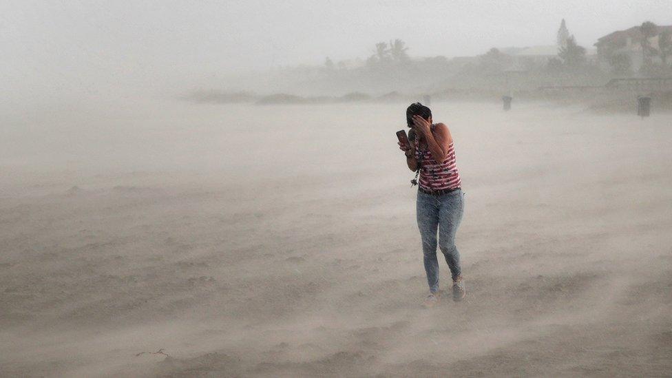
Hurricane Idalia made landfall in Florida in August 2023 as a major hurricane and reportedly caused $1 billion in damages
Why is it expected to be so active?
Over the last year our planet as been influenced by El Niño when we get warmer ocean waters in the tropical Pacific Ocean thousands of miles away from where hurricanes form.
These warm waters also cause changes in atmospheric circulation, bringing strong changes in wind speed or direction in the atmosphere to the Atlantic.
This hinders the formation and development of storms, so we get fewer hurricanes.
The opposite pattern, La Niña, brings a greater number of hurricanes.
El Niño is coming to an end with neutral conditions expected to return in the next few weeks.
Forecasters then predict that La Niña could quickly follow.
This tips the balance in favour of an active hurricane season with a greater probability of impacts in the Caribbean islands, Central America and southern US Gulf states.
The record warmth in the tropical Atlantic will also have a significant effect in an active season.

Sea surface temperature anomalies in the Atlantic show record warmth toward the Tropical region
The Atlantic, specifically around the tropics is currently around 2 degrees Celsius warmer than average.
Above normal sea temperatures near Africa’s Gulf of Guinea have been linked with a greater number of storms forming in the Caribbean and especially the east tropical Atlantic, near Cape Verde.
These storms would have an increased probability of impacts in the Caribbean and Florida and a greater chance of becoming major hurricanes too.
Is climate change a factor?
There is little evidence to suggest that the number of hurricanes increases with climate change.
However, scientists expect climate change to make storms more extreme.
As tropical cyclones and hurricanes are powered by warm seas, higher surface temperatures add more fuel to a developing storm.
There is also likely to be more extreme rainfall because for every one degree Celsius of global warming, the atmosphere can hold 7% more moisture.
With more powerful storms and hurricanes, impacts, damage and economic loss will be greater.
- Published11 November 2019