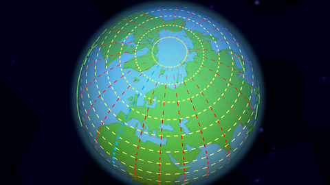
What is a globe?
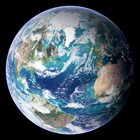
From space, the Earth looks like a sphere or a ball. About two thirds of the surface is covered with water, and the rest is covered with land.
A globe is a model of the Earth and shows what it looks like from space.
Some globes show how the land is divided into different countries - around 200 of them.
All the countries on our planet are located in seven different continents:
- Europe
- Africa
- North America
- South America
- Asia
- Oceania
- Antarctica
Antarctica is a special case. The continent contains no countries, instead it is governed under a 1959 agreement called the Antarctic Treaty, which was signed by 12 nations, including the United Kingdom.
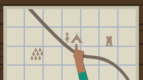
Maps and atlases
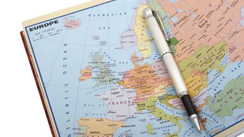
Maps are useful tools to help people navigate and locate places and features. Maps of different countries can be put together in books called atlases.
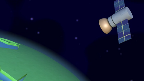
Today, computers and tablets show maps and aerial photographs. These are photographs taken from space by satellites and joined together to make very detailed images. Some aerial photographs are so detailed that you can zoom in and see a bird’s-eye view of where you live.
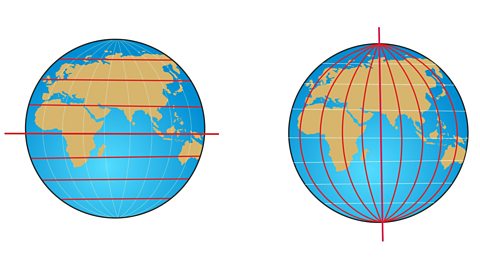
In the past, maps were hand-drawn by using careful measurements of the ground. Flat, two-dimensional maps can look different because the world is actually curved. This means map-makers need to make compromises when drawing maps. These different map representations are called projections.
Watch: Mapping the world
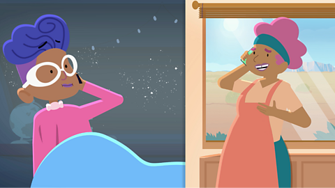
Explore globes and a map of the world with Sue Venir.
Oh hello! I’m just working out where I am by using this world, er…globe to give it its proper name.
A globe is a model of planet Earth, showing how it looks from space. This one shows all the countries of the world, almost 200, including the UK.
It shows all seven continents, Europe, Africa, North America, South America, Asia, Oceania and Antarctica. Although I love my globe, it’s a bit awkward to carry around.
Instead, it’s much easier to use a map or a book of maps called an atlas. An atlas has pictures of the same places as the globe but they are spread out over the pages, which allows you to see the world in more detail.
This does have its drawbacks, as the Earth is round, but pages are flat, so what we see on a map is slightly distorted.Globes and maps are how we’ve seen the world for hundreds of years.
They used to be hand-drawn to scale, from careful measurements of the distances and angles between landmarks.
But these days you can use apps on your computer or tablet. They’re even more detailed because they use photos taken by satellites and drones. The photos are put together like a huge jigsaw puzzle, which means we can view whole continents or even people’s back gardens.
However you look at the world, whether it’s with a globe, atlas or computer, it will always be fascinating and beautiful.I’m ok! I’m ok!
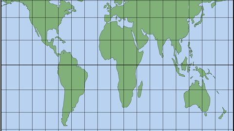
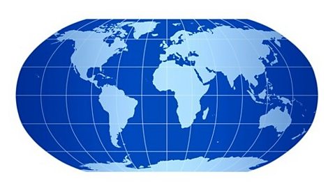
Map projections
A map projection is an attempt by cartographers (map makers) to show all or part of the Earth’s curved surface on a flat surface.
Cartographers have tried various projections:
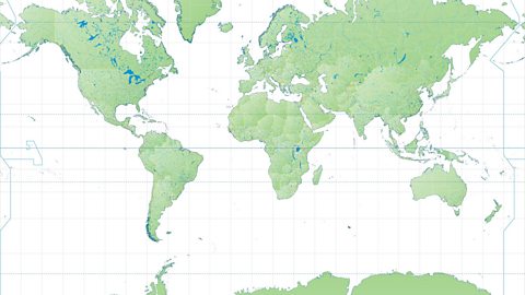
Image caption, Mercator map projection
The Mercator map projection is used widely for navigation, but it distorts the size of countries and continents. For example, when compared to a globe, the island of Greenland at the top of the map appears much bigger and the continent of Africa appears much smaller.
1 of 4
Activity: Quiz – Mapping the world
Bitesize Primary games. game
Play fun and educational primary games in science, maths, English, history, geography, art, computing and modern languages.
More on Geography skills
Find out more by working through a topic
- count2 of 10
- count3 of 10
- count4 of 10
- count5 of 10