Landform change – Criccieth, north Wales
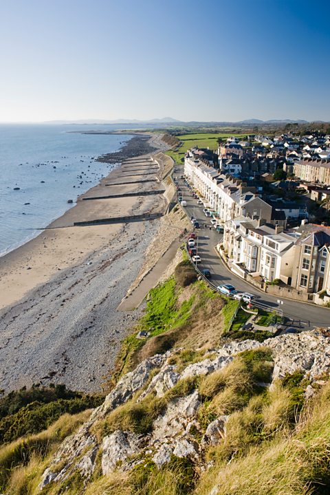
Criccieth is located on an exposed coastline in north Wales where the fetch of the wave reaches out 7,000 kilometres across the Atlantic Ocean. This means that the waves carry a high amount of energy which can erode and transport material easily.
How has human interference affected the rate of landform change in the area?
Ever since the original castle in Criccieth was built by local Welsh Prince, Llewelyn Fawr in the 13th century, Criccieth has grown in size. Tourism is important to the town’s economy and it is popular with people who come to enjoy the beaches and scenery.
However, coastal erosion is a large problem in the area so engineers have spent thousands of pounds protecting the cliffs and beaches. Rock armour, a crib wall and over 20 groynes have been placed along the coastline – but these have altered the look and shape of the landscape.
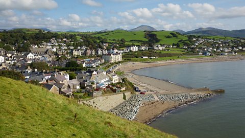
Due to human interference at Criccieth, the cliffs and beach have changed shape. At the Western Beach, where the groynes are located, deposits of sand and shingle on the one side of the groyne are almost 1.5 metres higher than the other side. This has altered the appearance of the beach and accelerated erosion on the Eastern Beach, which is now starved of sand due to the groynes.
The main purpose of man-made groynes is to encourage entrapment of sand. A coastal resort such as Criccieth needs a beach to encourage tourists. Beaches also play a vital role as they absorb wave energy and so protect the land behind. However, human interference is now starving the beach of sand which is altering the shape and functionality of the beach.
Summary map
The map below shows the main processes occurring at Criccieth, and how human activity has made the situation worse by building groynes. As a result, the beach and cliffs are changing shape. Man-made groynes on the west side are trapping sand which is changing the shape of the beach. In addition, the groynes starve the beach in the east of Criccieth because longshore drift is interrupted. This allows the waves to travel further up the land and erode the cliffs.