Exam practice
GCSE Geography: exam-style quiz by topic
Try this quiz based on GCSE Geography past papers. Choose the topic you would like to revise and answer the questions.

GCSE Geography: exam-style questions
Practise your CCEA geography GCSE exam skills with free interactive tests based on past papers to boost your understanding of natural hazards, fieldwork and more.

GCSE Geography (CCEA): quick-fire questions
Give our free interactive geography quiz a go to boost your knowledge of natural hazards, fieldwork and more. Based on CCEA GCSE geography past papers.

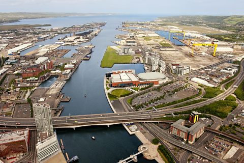
Understanding our natural world
- Guide Number5 Guides
- Guide Number4 Guides

- Guide Number4 Guides
- Guide Number4 Guides
Living in our world
- Guide Number3 Guides
- Guide Number4 Guides
- Guide Number3 Guides

- Guide Number3 Guides
Fieldwork
Geographical enquiry process - CCEA
Find out how to complete a geography fieldwork experience using both primary and secondary data.
Geographical skills
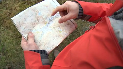
Map skills - CCEA
Maps represent the real world. Atlas maps show large areas and Ordnance Survey maps show smaller areas in more detail.
Graph skills - CCEA
Graphs, charts and maps can be used to show geographical information. Choosing the correct method of data presentation is important.

Numbers and statistics - CCEA
Revise the ways to measure data including the mean, median and interquartile range. Learn how to find relationships between data using scatter graphs.

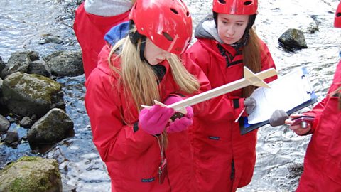
Fieldwork skills
Revise the difference between qualitative and quantitative data, and primary and secondary collection to understand how fieldwork is carried out.
Links
- External linkExternal link
- External linkExternal link
- External linkExternal link
- SubscriptionSubscription
- External linkExternal link
- External linkExternal link